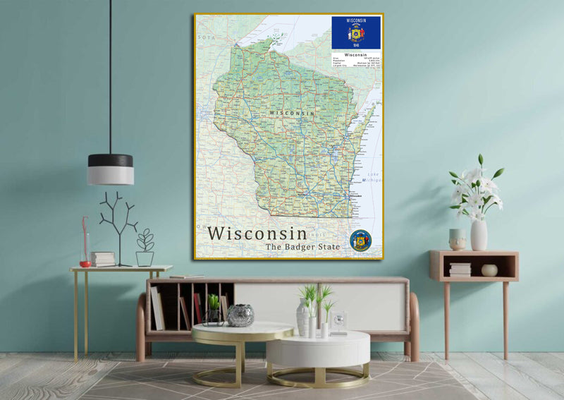
Wisconsin Physical State Map
Wisconsin is a midwestern state in the US, bordered by 2 Great Lakes (Michigan and Superior) and filled with lush forests and sprawling farms. Experience the cultural hub of Milwaukee, home to the renowned Milwaukee Public Museum and the iconic Harley-Davidson Museum. Explore the city's rich heritage through its international villages and indulge in a brewery tour at one of the many local breweries.
This physical map of Wisconsin presents key information such as the capital cities, population, area size, and largest city, plus locations of airports, major highways, state boundaries, and populated areas. In addition, the map includes bodies of water and points of interest such as national and state parks, forests, cultural sites, and more.
Laminated option: Printed onto high quality paper and finished with a gloss laminate.