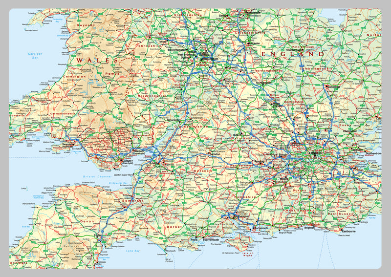
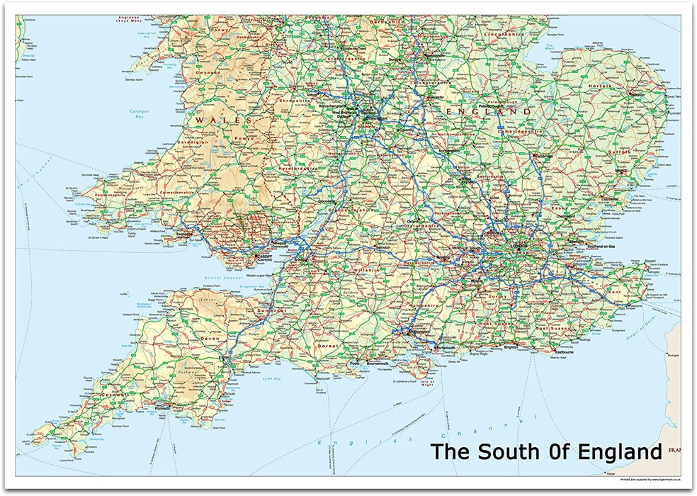
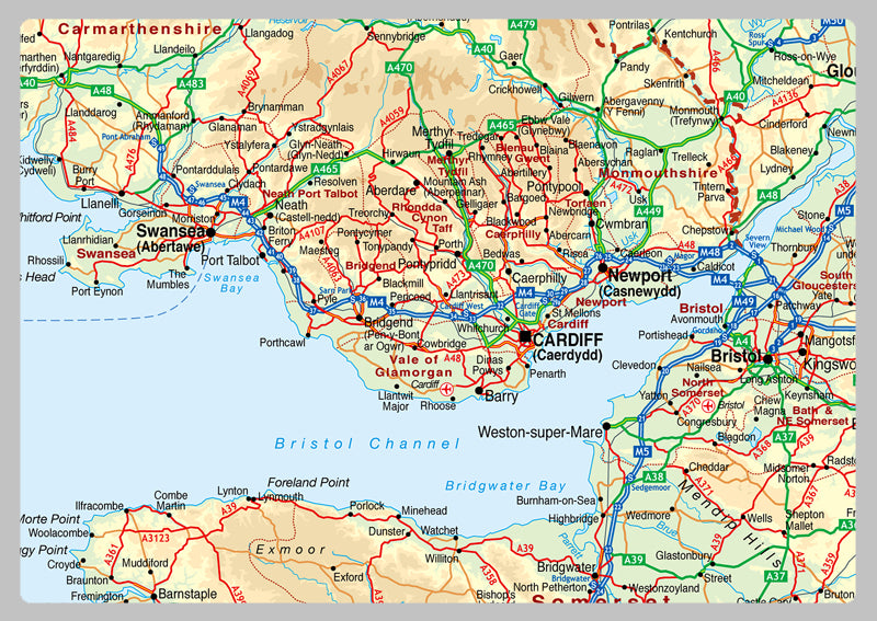
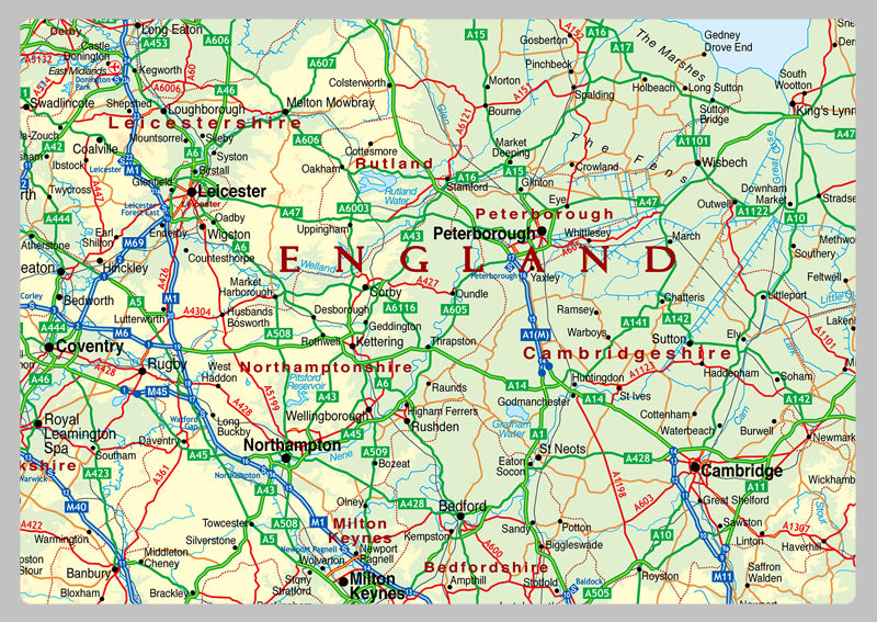
The South of England Physical Map
Experience the unique character of The South of England - a distinct, influential, and diverse region with its own dialect chain, cultural connections, and political boundaries. Covering nearly 40% of the UK's population and a quarter of its total land area, it boasts a population of 28 million and 62,042 square kilometers (23,955 sq mi). Divided into three areas - north-east, south, and west - this region is further divided into four regions: London, South East, South West, and East.
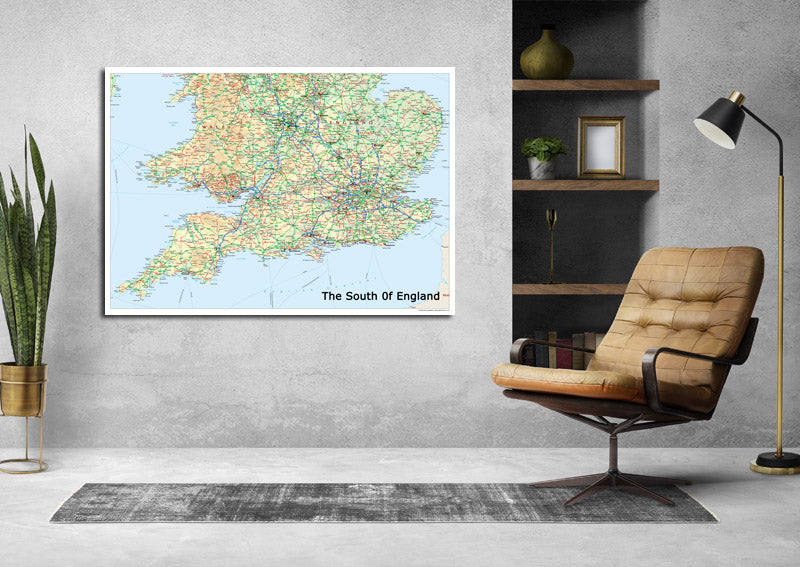
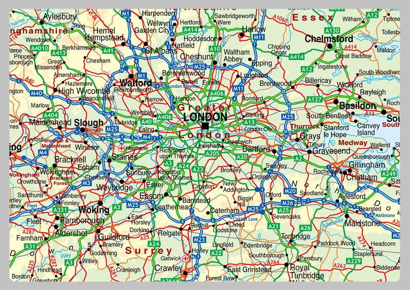
Our Physical Map of the South of England is vibrant and informative, with easy-to-read text and bright colours. This detailed map covers from Birmingham down. The physical aspects such as land elevation are clearly showed and makes for an attractive map either for the home, office or school, for display on a wall or for desk work.
Paper Laminated: Printed onto quality paper and finished with a gloss laminate.