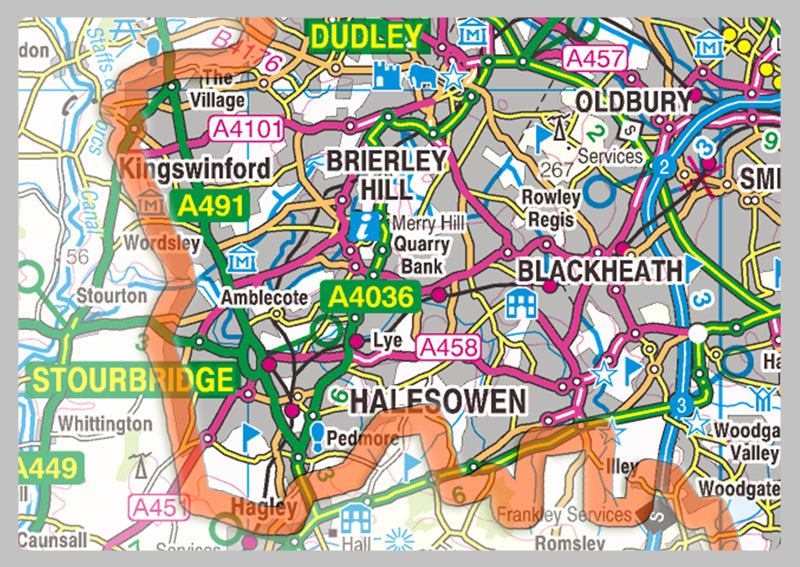
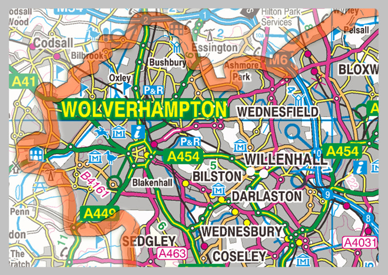
West Midlands County Map
West Midlands is a metropolitan and ceremonial county in the larger West Midlands region of England. A landlocked county, it is bordered by Staffordshire to the north and west, Worcestershire to the south, and is surrounded by Warwickshire to the east. The largest settlement is the city of Birmingham.
Our County maps are 1:100,000 scale and includes town names, villages, major and minor roads, motorways, rivers, lakes, forests and more. Perfect for businesses, home office, travel and route planning, our County maps are a useful resource.
Laminated option: Printed onto high quality paper and finished with a gloss laminate.